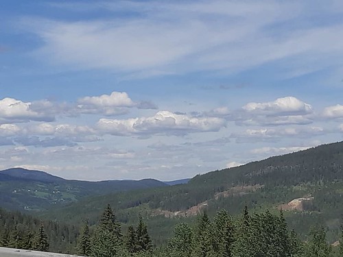
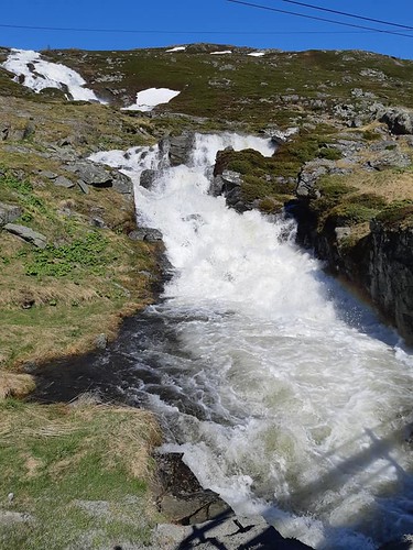
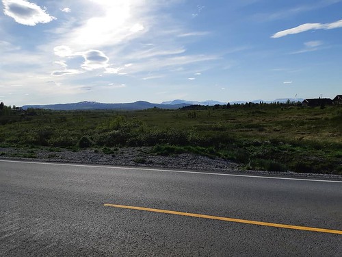
Today, I made a new trip across the mountain plateau nearest to me, Valdresflye. Not nearly the photographic loot that I got last time; in fact only three pics.
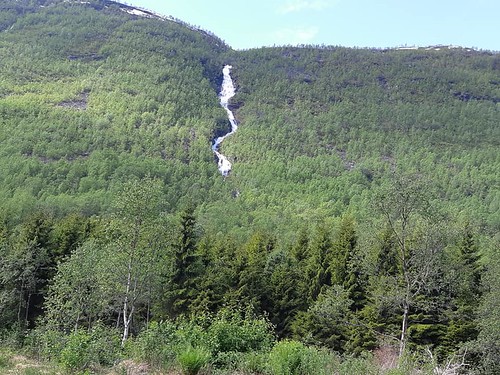
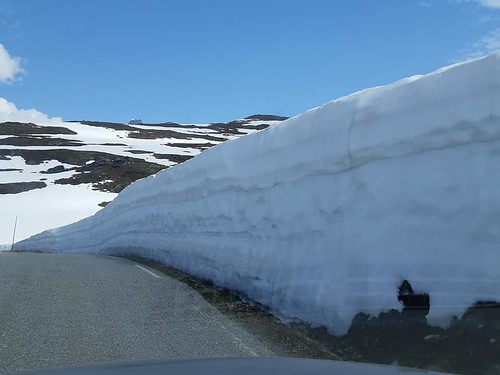
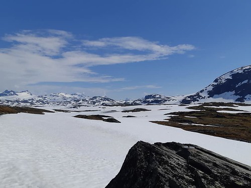
Scenery.
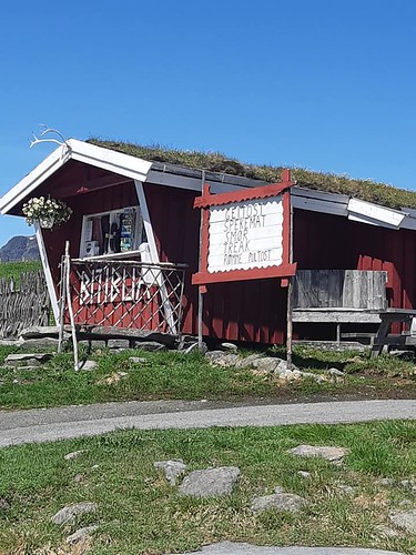
Where I always make a pit stop.
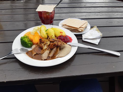
What I always stuff in my face at the pit stop...
Wednesday, June 24, 2020
Tuesday, June 16, 2020
To the west coast by a new route
Tuesday, I set out for the west coast. I had originally intended to go the usual way over the mountains and down Lærdal to Sogndal, then along the Sognefjord to Fortun and up the hillside into the mountains. However, my landlady had tipped me that there was another road, going down to Årdal and then up into the mountains further east. So I took that one instead
The first deviation from the "normal" route comes at Tyin, where you take the road down to Årdal. The road takes you past still icy lakes, snow-clad mountains and waterfalls galore.
A couple of miles after you take off towards Årdal (road 53), is lake Tyin. In mid-June it was still mostly frozen.
From the lake, the river Tya runs through several small lakes down into lake Årdalsvatnet, which again empties out into the Atlantic Ocean.
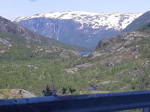
There's tons of water coming down the mountainside everywhere you look.
This is Lake Holsbru, the last lake before the river starts falling deep, deep down into Årdalsvatnet.
The sign reads "Danger! Unsafe ice". I say.
Looking down on Øvre Årdal. There's construction work to improve the road with several new tunnels and stuff, but the present drive is somewhat terrifying... and magnificent, of course.
Down in Øvre Årdal, I took a side road along the river Utla to the waterfall of Hellefossen. Here, I stuffed face on a banana and some pastry I had bought up at Tyin. Driving the tiny bridge right in front of the waterfall felt like being inside a car wash. Look:
It's a mighty fine waterfall.
Looking back on the waterfall.
It's cool how the sunlight reflects in the plume of water spraying from the falls.
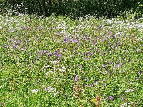
Beautiful colors. Ah do lubs me a summer meadow.
Where the road takes off into the Utla Valley, there's a memorial to the hardy men who built the road over the mountain that I had traveled so cavalierly. It took them 29 years to build.
The road from Årdal up into the mountains of Jotunheimen (Home of the Giants).
Looking back down...
There's even more rivers coming down up here...
Power lines cross the mountains. Hydroelectric power made Norway a wealthy nation long before the oil was found.
Then there were the mountains proper. The views up there are just gaaaah.
Almost looks like smoke from a volcano. Blissfully, the Norwegian volcanoes went to sleep millions of years ago.
The road goes ever on and on...
There's a small automatic toll boot up in the mountains. Cost me NOK90 (appx. $9-10).
Gaaaaah.
Once down in the valleys to the north of Jotunheimen, I went a few miles east and then back south again over a mountain plateau known as Valdresflye. I stopped at at restaurant called Bessheimen to stuff face on veal and caramel pudding. It was pricey, but good.
A cute little sheep was stuffing face just up the hillside.
Down in Valdres, I stopped to stuff face on a soft serve ice cream cone, because I'm a weak willed glutton. Don't judge me!
The first deviation from the "normal" route comes at Tyin, where you take the road down to Årdal. The road takes you past still icy lakes, snow-clad mountains and waterfalls galore.
A couple of miles after you take off towards Årdal (road 53), is lake Tyin. In mid-June it was still mostly frozen.
From the lake, the river Tya runs through several small lakes down into lake Årdalsvatnet, which again empties out into the Atlantic Ocean.
There's tons of water coming down the mountainside everywhere you look.
This is Lake Holsbru, the last lake before the river starts falling deep, deep down into Årdalsvatnet.
The sign reads "Danger! Unsafe ice". I say.
Looking down on Øvre Årdal. There's construction work to improve the road with several new tunnels and stuff, but the present drive is somewhat terrifying... and magnificent, of course.
Down in Øvre Årdal, I took a side road along the river Utla to the waterfall of Hellefossen. Here, I stuffed face on a banana and some pastry I had bought up at Tyin. Driving the tiny bridge right in front of the waterfall felt like being inside a car wash. Look:
It's a mighty fine waterfall.
Looking back on the waterfall.
It's cool how the sunlight reflects in the plume of water spraying from the falls.
Beautiful colors. Ah do lubs me a summer meadow.
Where the road takes off into the Utla Valley, there's a memorial to the hardy men who built the road over the mountain that I had traveled so cavalierly. It took them 29 years to build.
The road from Årdal up into the mountains of Jotunheimen (Home of the Giants).
Looking back down...
There's even more rivers coming down up here...
Power lines cross the mountains. Hydroelectric power made Norway a wealthy nation long before the oil was found.
Then there were the mountains proper. The views up there are just gaaaah.
Almost looks like smoke from a volcano. Blissfully, the Norwegian volcanoes went to sleep millions of years ago.
The road goes ever on and on...
There's a small automatic toll boot up in the mountains. Cost me NOK90 (appx. $9-10).
Gaaaaah.
Once down in the valleys to the north of Jotunheimen, I went a few miles east and then back south again over a mountain plateau known as Valdresflye. I stopped at at restaurant called Bessheimen to stuff face on veal and caramel pudding. It was pricey, but good.
A cute little sheep was stuffing face just up the hillside.
Down in Valdres, I stopped to stuff face on a soft serve ice cream cone, because I'm a weak willed glutton. Don't judge me!
Sunday, June 14, 2020
Borgund stave church
Sunday, I finally made it to Borgund stave church. Not much more to say; it's a very handsome building and the drive was nice.
The new church isn't too shabby either.
However, the modern visitor center is butt ugly.
The new church isn't too shabby either.
However, the modern visitor center is butt ugly.
Saturday, June 13, 2020
A day trip back home
Saturday 13th, I drove down to my old hometown of Hønefoss, to stuff face with some old friends and to witness my brother hollering at an outside pizza restaurant right next to the building my grandparents owned when I was little. To the best of my knowledge, it still carries my family name.
My old friend Per Magnus and his magnificent girlfriend, Nui. They met at a shooting competition in Thailand a couple of years back and she's temporarily stuck in Norway due to the corona crisis. She keeps busy feeding him all this yummy Thai food and I can only look on in silent despair at their Facebook posts. Mmmmmm, Thai food.
This picture was taken at 11:15PM Saturday night. That big ole building is my old elementary school, where I attended 3rd through 6th grade (this was back when the compulsory part of school was only nine years in Norway). The school is closing this year, although they may use it next year too iffin the corona virus is still a threat. Look at how LIGHT it is...
This pic was taken on the road back to Dokka just past midnight. I love Norwegian summer nights.
Friday, June 12, 2020
Touring Norway
Since most national borders are closed I'm kinda hunkering down for a summer in Norway. This last week I've been on several trips to the west, one even as far as the coast. I've even gone so far as to buy a dashcam for road videos (installing and operating it will probably be what kills me in the end).
These pics are from my first trip of the season, over the mountains of Valdres. I was planning on going to Borgund stave church, but on a hunch I made a left in the traffic circle on the west coast side of the mountains and drove back east again through Hemsedal and then over Gol Mountain Plateau.
The valley of Etnedal, which is a side valley to Valdres. Etnedal is also a tiny municipality.
In the hills between Etnedal and Valdres there are several small waters and tons of purdy lil' cabins.
Purdy flowers by the side of the road. Norwegian roads can be real nice.
Lake Stronda runs through some of the very finest parts of Valdres.
Not sure what types of fish they're breeding here.
Looking towards Vang, where the mountains really start to rise. That's Mt. Grinda to the left, it's quite the sight close up and the lake is called Vangsmjøse. Vang is just a tiny bit more populated than Etnedal.
A bit further into the mountains is Øye, which has a reconstructed stave church, partially built from the remains of an old one, probably from the 12th century.
Just behind the church, the river Rødøla forks into a couple of great falls.
A mile or two along on the road to Hemsedal (Road 52) is this beautiful place, with great views and a nice waterfall. The river is called Galdestølelvi.
Right after Hemsedal proper is this mountain with a lovely waterfall.
The river Hemsil that runs the whole valley is so peaceful up here.
Further southeast, in Gol, I stopped to get mahself a well deserved soft serve ice cream.
Then I drove back to Valdres over the Gol mountain plateau. It's mighty purdy up there too.
Subscribe to:
Posts (Atom)