Spent Sunday night in Pendleton, a dull place in a dull landscape. The scenery picked up a little on the way to Baker City, with some proper trees and proper, snowcapped mountains in the distance. You may have seen some of it on film, because the movie Paint Your Wagon was made in these parts.
Baker City is a rare gem, a small town that in spite of having the usual fast food and chain store offerings has also managed to keep a pretty well preserved historic center, with a Main Street that could compete for the title of Anywhere, USA of the 50s. Downtown is the surprisingly large Baker Heritage Museum, which has a very nice, very varied collection of local stuff - from old wagons and cars to gems (it's an old mining town), guns, stuffed animals, old china, clothes, fun old commercial posters, etc, etc. The place has lots of space, being a former indoor swimming pool, with a large ballroom upstairs. Sadly most such places have a strict no photo policy, so I can't show you any of it. Why they ban photos I don't get, because they almost never sell postcards or any other material based on their collections, so it's not like they're going to lose money if tourists take their own pics - on the contrary, I should think it would be good advertising to have people spread images all over the world. Meh.
About five miles north of town is the Oregon Trail Interpretive Center. As with most Federal sites, here you can click away to your greedy, little heart's desire. They have a very well made display series of life on the Trail with stories about a few of the hundreds of thousands who went west looking for land, gold, adventure or just a new life. They also have tons of info on the background for the migrations and the consequences. I highly recommend you do both the local and the federal museums.
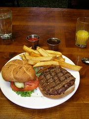
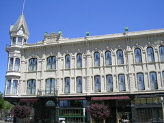
Afterwards I went downtown again and took some pics of Main Street and then had lunch at the historic Geiser Grand Hotel, where the film crew and actors stayed while they shot Paint Your Wagon. I now regard myself an official cowboy, since I lunched on BUFFALO. Yes, good people - they had buffalo burger on the menu, and the child in me (never far from the surface) was bouncing with joy. In reality it didn't taste much different from ordinary meat - I understand its main quality is that it's leaner than cow, but I couldn't tell.
After Baker the landscape again remains fairly dull all the way to the Idaho border, where I am now, in a little place called Ontario. I've just returned from seeing the new Transformers movie at a local theatre, and while the film itself is forgettable, I hereby decree Megan Fox the hottest woman in The Known Universe. Tomorrow I will enter my new state #3 and my 46th state overall. Wheee!
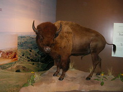
Little did he know I was about to have his descendant for lunch.
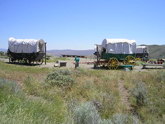
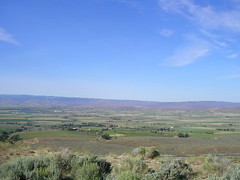
In the hills around the Interpretive Center you can still see the tracks the wagons made. In the distance are the Blue Mountains, while Baker City is hidden behind the hill on the left.
I've praised the quality of US museums before and this was no exception. The display invites you to reflect on what actually happened and makes it come alive. Here kids can fill their own wagon - they have the total capacity and the weight of each item. What will you take, what will you have to leave behind? History, math and economics in one lesson!
Indoors and outdoors displays
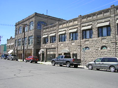
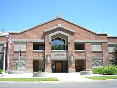
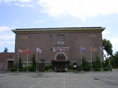
The Heritage Museum and a side street off of Main.
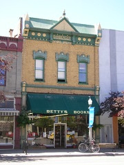
And old bookshop (the text at the top says the building is from 1888) and the art deco Baker City Tower, which is the tallest building in eastern OR.
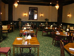
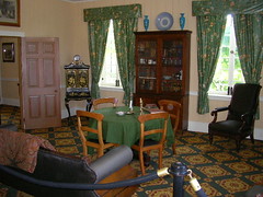
The exterior and interior of the Geiser. Friendly and professional staff - they served me lunch 15 mins after they were supposed to have stopped.
More landscape, museum and city photos here.
Tuesday, June 30, 2009
Monday, June 29, 2009
Seattle
Spent Saturday night in Tumwater, just south of Olympia. Sunday morning I drove into Seattle, where I spent almost 3 hours walking around the splendid Nordic Heritage Museum, which covers migration to the US from all five Nordic countries, with a special emphasis on their influence in the northwest (hint: it has been considerable). I then drove southeast across some nice mountains and then through the endless, dull, semi arid hell that is central Washington and northern Oregon. I am now in Pendleton, OR, heading down to Baker City tomorrow to check out some Oregon Trail history.
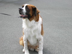
The Heritage Museum in northwestern Seattle. It's quite some distance from the Interstate, but I had no problems finding it. Next to the museum was a small park where people were walking dogs and children (not sure who drooled and shat the most, but I do know I would have prefered the leashes to be on the kids). The giant St Bernard is Gus; I became his bestestestest friend in the world when I shared my sandwich with him.
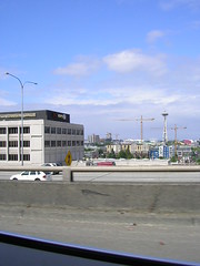
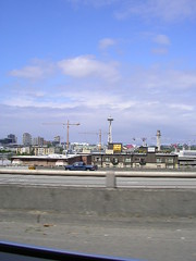
Pics of the Seattle Needle, taken from the I-5. I'm a menace to society, yo.
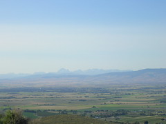
In the background you can just make out the purdy Snohomish mountians, whence I came. Then there's the dull wasteland I was driving into. It looks much better from a distance, believe me.
One of the few nice things along the way was when I came down a long, long hill not far from Yakima. In the shimmering distance I suddenly saw the ghostly features of Mt Adams (barely visible) and Mt Rainier.
Sunday, June 28, 2009
Fort Vancouver
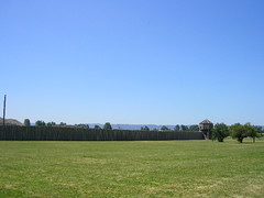
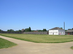
After the McLoughlin House I drove across the Columbia river into Washington - my state #45, whooo hooo! I then spent a couple of wonderful hours at the rebuilt Fort Vancouver, a completely reconstructed version of the old trading station. The site was completely destroyed when the British left, and was nothing but a field for decades. However, the Hudson's Bay Company, which built and owned it, kept very, very good records of the inventory and this has enabled a more or less complete reconstruction.
Originally Fort Vancouver had thousands of acres of land, with crops, vegetable gardens, orchards and lots of livestock. Most of the skilled workers were there for a few years, on contract, and it was a multinational environment - French and English Canadians, English, Scots, Irish, Germans, Scandinavians and even Hawaiians. The fort exported salmon and fur to Hawaii in return for sugar.
I absolutely loved the place - they have several highly dedicated volunteers showing working life and social life - there's a woman baking bread in the kitchen, there are a couple of blacksmiths making hooks, there are carpenters, and one woman playing the part of John McLoughlins half French-Canadian, half Cree-Indian wife. There's a beautiful garden just outside the Fort and you'll probably see lots of bunnies jumping around both inside and outside.
Despite the name and the protective palisade, Fort Vancouver wasn't really a military site although British warships would occasionally visit. It was privately built and operated and served mainly as a trading post (mainly for fur).
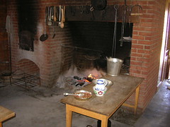
The kitchen, well equipped for the times. While I was there the bread was taken out of the oven and handed out warm, with butter. I recommend you be there shortly after noon, that's when it's usually done. Yummy!
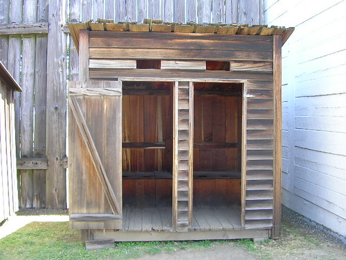
The outhouses. (Norwegian readers should go here for comparison).
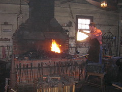
A blacksmith at work, using a bellow in the ceiling to stoke up the heat.
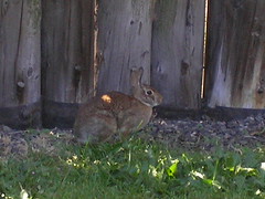
A wascally wabbit...
The office, where all official documents were written out. Being the only administrative center for hundreds of miles, the clerks here were overworked most of the time.
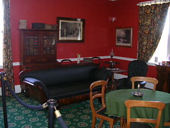
Some very nice furniture in these rooms in the main house. This would be the home of the McLoughlins. The whole place was apparently Britain in miniature with the higher ranking officers observing British customs and fashions; there were always 6-7 course dinners, there was brandy and cigars and the womenfolk and children were not allowed to do any manual labor - all that was done by servants.
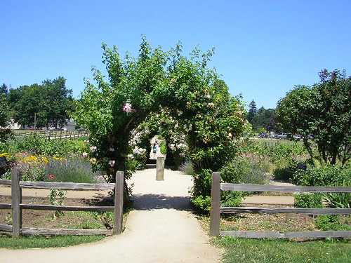
The lovely garden just outside the entrance. Smells mighty purdy.
All the pics from the Douglas County Museum, the McLoughlin House and Fort Vancouver can be found here.
The McLoughlin House
Saturday morning I drove up to Oregon City, which at one point was the capital and major city of the Oregon Territory. Its might was founded on the waterfalls of the Willamette river, and even today paper production along it is a major economic factor here. Uphill, in a very cozy neighborhood with lots of nice old homes, lies the McLoughlin House landmark (it is also the gravesite of John McLoughlin). The house used to stand by the river, but numerous floodings led them to move it in 1909. That move is a story in itself, as they jacked the whole thing up in one piece and then used a single horse to drag it up the hill on big logs, a few yards at a time.
John McLoughlin is known today as "The Father of Oregon". In the 1820s and 30s, Great Britain and the US had joint ownership of the area, and the British were hoping to make the Columbia river the eventual border (today it marks the state border between Oregon and Washington), maybe even push the yanks out altogether and take all the land clear down to California, which at this time was still Mexican. Had they succeeded, the US might have had no west coast today. McLoughlin was a Scots-Canadian and the local representative of the Hudson's Bay Company (HBC). He oversaw their operations from California to Alaska, and was for all intents and purposes the law in that vast region. His headquarters was Fort Vancouver, in what is today the state of Washington, just across the river from Portland.
Sadly for the British, the HBC never put the needed resources into their project, and eventually the Americans began to outnumber them. Contrary to company orders, McLoughlin opened the fort for trade with the yanks and even helped the needy with food and medicine. He repeatedly asked the company to send more British/Canadian settlers to populate the area if they wanted to have a realistic claim to it; he understood the political and humanitarian folly of trying to starve out the Americans, who as of yet had numbers but very little in the way of organization. They were mainly poor, rough settlers while McLoughlin had highly trained craftsmen and administrators under his command.
Eventually he was more or less kicked out by the HBC and then he built his home south of the river and became an American citizen. He helped set up a proper administrative center in Oregon City - the first American official presence on the west coast. Oregon City even administered land claims as far south as San Francisco for some time and its local newspaper was the first west of the Mississippi. I highly recommend you take the guided tour - it's free, and the people there are knowledgeable and nice, and this is a very interesting part of the history of European settlement in the west.
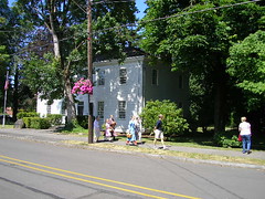
The side facing the street is actually the back of the house; the movers in 1909 screwed up...
Oregon
Friday I drove north, into Oregon - my first new state on this trip and my number 44 overall. Wheeee!
The border area is mighty purdy, with lots of great vistas, rolling hills, etc. I stopped at Roseburg to visit the Douglas County Museum, which like most US museums is very well made. Varied exhibitions on the history of the area with lots of material also on the natural history. They also have some sections on natural wildlife and such where (especially children) are encouraged to touch the objects, such as pelts, stones and stuffed animals. They also have many samples of animal sounds. THIS is how a museum needs to be to get kids' attention. Interesting historical fact: The county is named after Scottish botanist David Douglas, who also gave his name to the famous Douglas Fir tree and the Douglas squirrel.
I had planned to continue straight up the I-5, but my curiousity was piqued by the place name "Norway" a few miles to the southwest, so I decided to make a detour out to the coast. When I got there, I couldn't actually find any community, much less a town, the whole place seemed to be just a few houses and businesses scattered along the way. Bummer. I then drove north along the coast for a while; maybe I didn't see the most scenic parts, as I have had several trustworthy people tell me that the Oregon coast is well worth seeing, but I soon found the area boring and quickly drove inland again to the interstate. The northern part of the state is quite mundane compared to the parts closer to California, it's flatter and greyer and doesn't seem to hold much of interest, not to yours truly anyway.
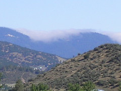
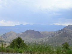
Just before the Oregon border I saw this magnificent view - not sure if these pictures do it justice. The clouds were amassing just behind the hills and then sort of slowly seeping over them. It was very beautiful and a bit creepy too, in a cool way.
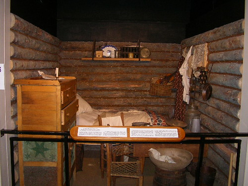
The interior of a pioneer cabin. Life could be hard for the first settlers, and it took some time before Europeans came to Oregon in significant numbers.
A wagon, a steam-operated thresher and an old Dodge car.
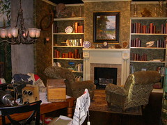
You were encouraged to touch the bear, the tent, the trees, sit in the chairs, read the books etc. Novel and cool!
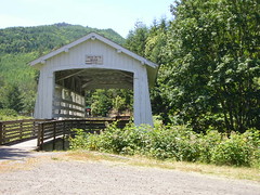
A covered bridge anno 1921, found on state route 42 between I-5 and the coast. Yes, I do take pictures from a moving vehicle. I'm a bad, bad man.
Friday, June 26, 2009
Driving and talking
Long ass drive yesterday... Wednesday evening I made it out of Yosemite and to the little town of Mammoth Lakes which is also a very scenic place. Thursday morning I drove north on US 395, then Route 89 before finally hitting US 50 which took me to Sacramento. All very, very scenic roads but after Yosemite I kinda overdosed on taking pictures of purdy mountains. Still, the Sierra Nevada is a place of breathtaking beauty and I highly recommend the drive. At Sacramento I hit I-5, which is horribly boring through Central Valley but picks up considerably north of Redding. I especially liked the areas around Shasta Lake and Mt Bradley. I'm currently in Yreka, a short drive from the Oregon border.
One of the best things about traveling is when you get to talk to interesting people. First, at the junction of Route 89 and US 50 I picked up a hitch hiker. She turned out to be a Canadian who was walking the Pacific Crest Trail. She'd started out south of San Diego two months ago and had three more months to hit the Canadian border. She explained she'd usually walk for about five days then find a small town to do laundry, clean up and get more food. She just wanted a hike up the very steep slopes of US 50 to Luther Pass so we didn't talk all that much, but it's always interesting to meet people who are doing crazy things - crazy in a fun, non-harmless way, that is.
Just two minutes after dropping her off, I suddenly passed by a building where a huge sign said "Little Norway". I promptly turned around and drove back to check it out. I ended up having a half hour conversation with a very nice guy named Bruce. He was a former accountant who was now in the resort business and he was fixing the place up, planning to open on the 4th of July. He explained that the name was a leftover from the former owners, who'd been Norwegians. Apparently a lot of Norwegian-Americans from the Bay area used these parts for recreation, and there was even a Norwegian skiing club active in the winter. We had a long, interesting, wonderfully rambling conversation about topics as diverse as the Norwegian monarchy, salmon fishing, the banking crisis, the Ukrainian famine, Norwegian dialects and CA state politics. The guy was well informed and apparently in need of a good, long talk and I was more than happy to oblige. If you ever pass through these parts, do stop in and say hello from Jon, the Norwegian guy with the American accent and the Troika chocolate (I gave him some Norwegian candy, hope he liked it...).
From the Mammoth Lakes area
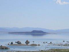
The strange, otherworldly beauty of Mono Lake.
Just after Route 89 takes off from US 395, it climbes way, way up into the hills, and this incredible valley view opens up
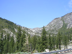
Hills and a waterfall along Route 89.... the Sierra Nevada range is full of views like this
All pics here.
Subscribe to:
Posts (Atom)