Iceland is growing by a few millimeters every year, as earthquakes keep tearing the two continents apart and the area around Thingvellir is hit by minor quakes quite frequently. I am given to understand that it is a rather invigorating experience to stand between the continents when such a quake takes place (read: I'd soil myself with terror). In the following are pics from my walk to and from the waterfall, where you can see lots of cool canyon stuff. This island cries out for more movies!
All pics.
Overview of the whole 1 km walk to the waterfall.
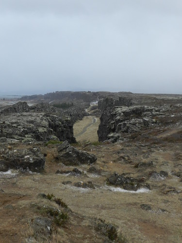
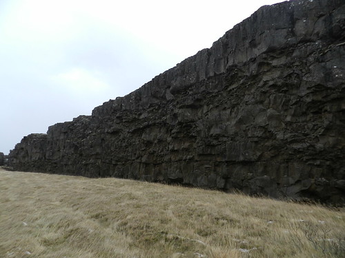
View down the first canyon. That's Europe to the left and America to the right.
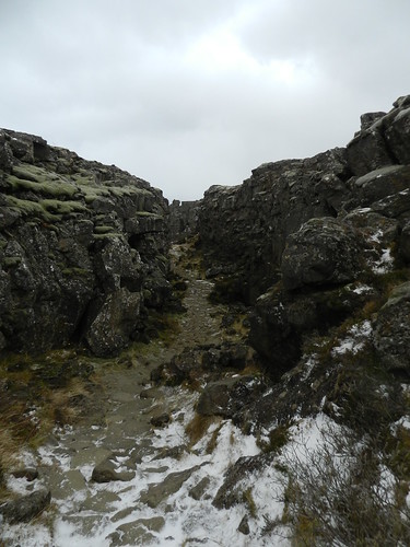
View back up the first canyon.
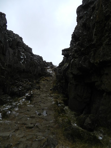
View of canyon number two. Again, Europe to the left and America to the right.
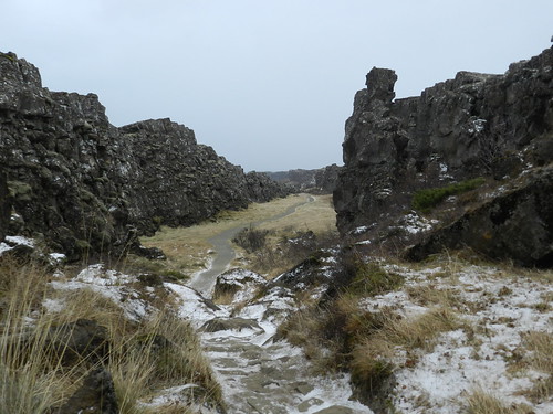
The very edge of the American continent rising up out of the ground. I'm getting goosebumps as I write this.
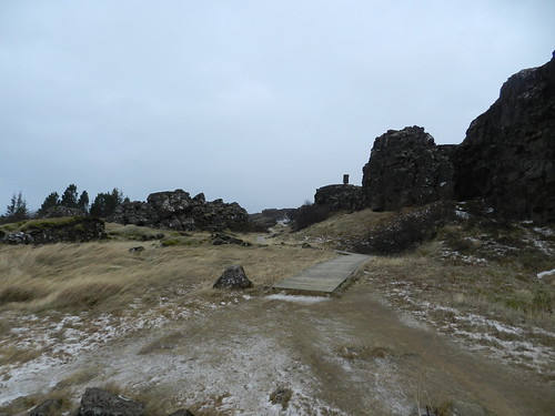
The last stretch to the waterfall is a wooden walkway through a third canyon.
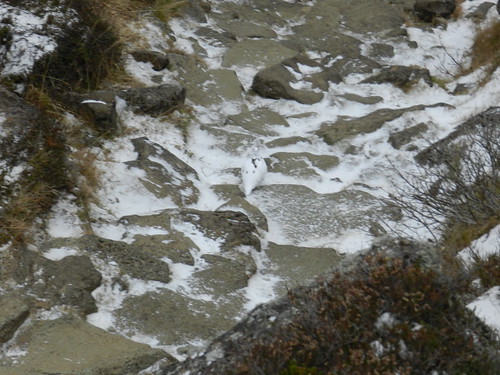
In the middle of the picture sits a grouse. This is back at the first canyon.
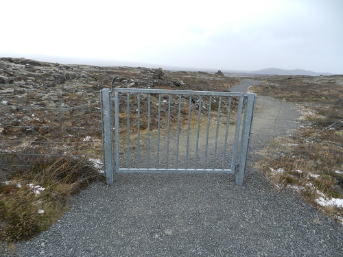
I have no idea why the Icelanders put fences around their vast mountain areas. If anyone is so fucking stupid as to wander out there without taking the necessary precautions, it's Darwin's will, good people.

No comments:
Post a Comment